
Durham Neighbors Around One Block
A block search has several valid meanings: immediately adjoining parcels, addresses inside a map buffer, a historic street sequence, or a civic area with its own stated boundary. Durham’s public systems answer different parts of that question. Use the parcel map to define nearby land, the tax card for parcel fields, the Register of Deeds for recorded legal parties, and library or planning material for historic or civic context. None of these sources creates a current list of Durham neighbors.
| Source | What it shows about a block | Access |
|---|---|---|
| Durham Maps parcel layer | Parcel geometry, adjacency, boundaries, and map overlays | Public viewer and Administrative MapServer |
| Tax Administration property card | REID, PIN, owner display, mailing and situs fields, deed or plat references | Public portal and office contacts |
| Register of Deeds | Recorded legal parties, instrument references, and legal descriptions | Online for most series; historical and certified access onsite |
| Library directory street section | Dated historical address listings and nearby sequence | DigitalNC or Main Library collection |
| Small Area Plan or association source | Civic or planning geography | City plan page or official association PDF |
Keep the result labels intact. A parcel owner is not automatically an occupant. A mailing address can differ from a situs address. A directory entry is a historical snapshot. The source and date make these records useful without merging them into an unsupported claim about who your neighbors are.
Mapping Durham Neighbors by Parcel
Durham Maps supplies the parcel geometry and local overlays needed to frame a block. Its Mailing List Tool buffers selected parcels by a chosen number of feet and uses Select Parcels, Generate Address List, and Reset Tool controls. The generated output is an address list for a notice-area or map workflow. It is not a list of people, and the buffer distance is not a neighborhood boundary.
- Locate the starting address and confirm the parcel shape in Durham Maps.
- Select the immediately adjoining parcels or choose a clearly stated map buffer.
- Record each parcel’s REID and PIN, then check the city, county, ZIP, and jurisdiction layers.
- Open the Tax Administration card only to compare its parcel fields and recorded references.
- Use a plat or recorded deed if the map boundary needs legal-description confirmation.
The flow is address to parcel, parcel to map context, then parcel to a custodian record. It does not turn a map selection into a resident roster. Use the output to study a block’s geography, records, or notice area rather than to make an occupancy claim.
Note: A Durham Maps buffer is useful for mapping nearby addresses, but it does not define a neighborhood or identify the people at those addresses.
Durham Neighbors and Parcel Fields
The Durham Tax Administration card can be searched by owner or business name, street, REID, or PIN. It records parcel identity fields, an owner display, owner mailing address, location address, deed and plat references, acreage, planning jurisdiction, city, permit data, sales information, and values. The field set helps distinguish an address used for tax mail from the physical situs of a parcel. It does not identify all household members or prove that the owner currently lives there.
Street searches can return several parcels. In the Street Name field, omit terms such as Rd, Dr, W, or West, then narrow with the number, map location, municipality, owner display, or parcel identifier. Keep the legal description in the recorded deed as the title reference because map polygons and tax labels are not a substitute for it.
- Parcel
- A mapped unit of land used in the county’s property system.
- Situs address
- The location address associated with the parcel.
- Mailing address
- The address used for tax correspondence. It may be somewhere else.
- REID and PIN
- Durham parcel identifiers used to connect the tax card, map, and recorded reference.
Durham Neighbor Boundaries Vary
Durham’s Small Area Plans program cautions that neighborhood boundaries are not clearly defined and can use census block groups, ZIPs, historic districts, homeowners associations, or roads. A plan boundary, a ZIP, and a parcel buffer therefore may all describe a different geography. Select the one that matches the civic, planning, historic, or parcel question before requesting a record or contacting a community organization.
City and county jurisdiction can also differ from a Durham mailing address. Durham Maps provides City of Durham, Durham County Boundary, Durham City and County, Research Triangle Park, and ZIP layers. When a permit, planning file, or service question depends on jurisdiction, check the parcel and map layer first. A Durham postal label alone does not establish the agency that holds the record.
Durham Neighborhood Association Leads
The official Durham neighborhood association PDF is a civic starting inventory, not a current membership list. It lists associations across city districts, including Abercromby, Abron Drive, Albright, Alston Heights, Amberlynn Valley, American Village, and Anderson/Wrightwood. The list’s date and the association’s own current information should be checked before using it to locate a meeting or community contact.
| Civic source | How it helps | Important limit |
|---|---|---|
| Neighborhood association PDF | Names an association and district as a possible contact lead | Does not prove current activity, membership, or official boundary |
| Small Area Plans | Supplies City planning geography and area history | Plan boundaries are not universal neighborhood lines |
| Durham Neighborhood College | Offers City and County civic context through a fall program | It is civic education, not an individual lookup route |
When a civic group is active, use its own published contact route and description. Do not treat an association name, a plan label, or a meeting source as a roster of Durham neighbors.
Durham Neighbors in Historic Street Sections
For a historical block, Durham County Library’s city and county directories have both surname and street-address sections. The street section lets a researcher read an address sequence in one edition, while the surname section helps check the printed name. Annual print directories reach back to 1903, late nineteenth-century issues reach 1892, and DigitalNC offers Durham material from approximately 1875 through 1963. The Greater Durham Area Cross Reference Directories run from 1962 to the present collection and combine phone and street-address information.
Those volumes document a date-specific listing, not a current neighborhood. Compare multiple editions, retain their publication years, and avoid treating a telephone number as a lasting identifier because numbers can be reassigned. The library collection is useful for historical block context after the parcel map defines the physical place.
Durham Neighbors and the Walltown Block
The Walltown Small Area Plan, adopted August 18, 2025, is a local example of how a map, plan, parcel, and street history can inform one another. It describes George Wall’s connection to the area and a predominantly Black working-class neighborhood associated with tobacco and textile work. The plan’s blocks had about 24 lots, with lots approximately 50 by 140 feet and private 20-foot alleys. Much of the grid remains.
Those details are historical and planning context. They can help explain a rear-lot address, alley, or apparent mismatch between a current map and an older directory or plat. They do not identify current neighbors. Treat the plan as a civic record, then confirm a particular parcel through the map, tax card, and recorded legal description.
The Walltown plan capture preserves the City’s published local context for block research.
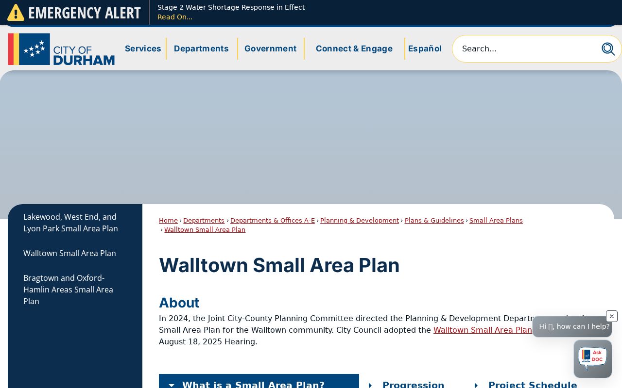
The plan helps frame historical block geometry without making any claim about present-day occupancy.
Durham Neighbors and Building Records
The City-County Building Safety and LDO system covers most existing development permit applications, review comments, and inspection results for City and County parcels since October 2007. Its public Parcel Search accepts a permit number, parcel ID, parcel PIN, street number, street name, unit number, first or last name, and company name. Address searches require both street number and street name. This can place a permit or inspection record at an address, but an applicant, contractor, or company entry is not a resident or owner label.
Check jurisdiction before relying on a permit search. Durham County directs users to Find My Jurisdiction and county tax data because a Durham mailing address alone does not prove that City or County Building Safety issued a permit. Pre-2007 construction questions may need older paper files, archives, or another department rather than an assumption that the history is absent.
The Durham Building Safety page capture documents the public permit and inspection route.
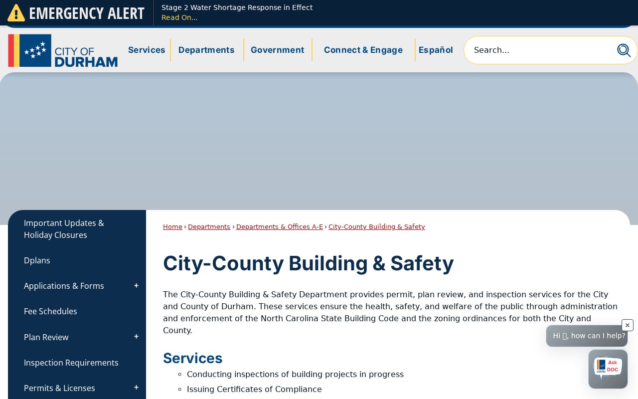
Building records add an address-based administrative lead, not a list of residents on the block.
Durham Neighbors: Record Roles Matter
Official records use role-specific labels. A tax card may show an owner and a tax mailing address. A deed has grantors and grantees. An assumed-business-name filing records a business filing route. A cemetery record identifies an interment. These fields should not be combined into a generic people list. The source, date, and role preserve the useful part of each Durham record while avoiding a false claim about a person’s current address.
The Durham assumed-business-name route is an example of a record with a specific business purpose.
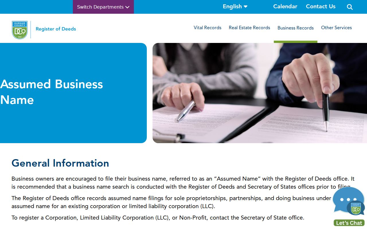
An assumed-name filing can identify a filing record, but it does not establish a household or block occupancy.
The Durham cemeteries management page is a separate person-to-place route for burial information.
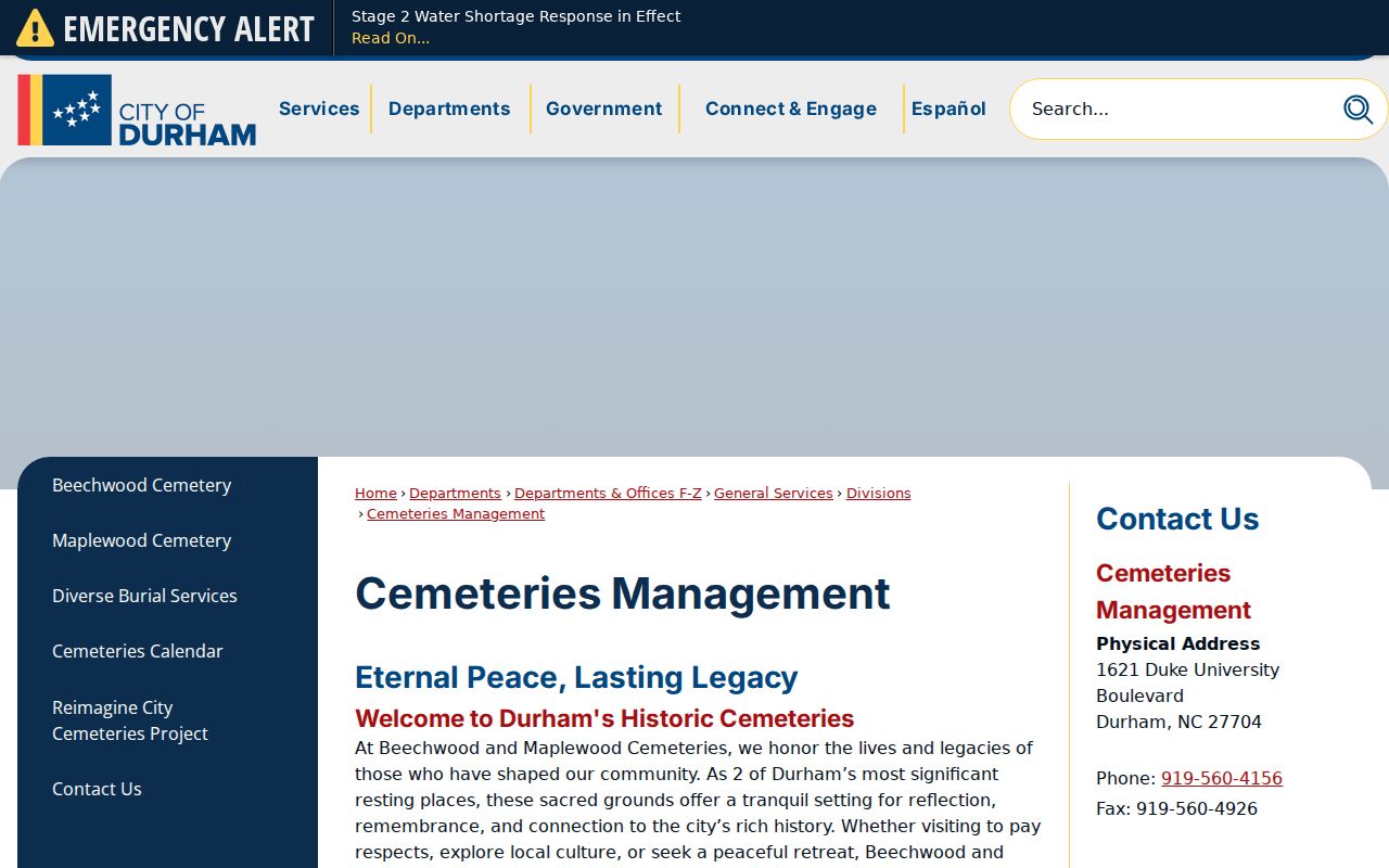
Burial information is historical or family context and is not evidence that a person lived at a nearby address.
Durham Neighbor Sources Compared
Use official custodians for the narrow question their record answers. Commercial neighbor-search categories may combine data from different dates and sources, so their labels and addresses need independent verification. Neither category gives permission to republish sensitive details or to characterize a block’s private households. For a documented public-record question, begin with the agency that creates or maintains the source.
| Source category | Useful role | Check before relying |
|---|---|---|
| Official parcel, map, deed, or planning record | Connects an address, parcel, legal instrument, or stated boundary to its custodian | Record date, jurisdiction, field meaning, and whether an official copy is needed |
| Library historical collection | Provides a dated directory, newspaper, map, or local-history reference | Edition, scan completeness, historical address form, and collection access rules |
| Commercial neighbor-search category | May offer a research lead | Source date, identity match, accuracy, and lawful personal use |
Durham Neighbor Lookup Privacy Limits
North Carolina public-record access does not make every field or address available for reuse. Voter records exclude Social Security numbers, full birth dates, driver-license numbers, and agency-of-registration information. Property cards are parcel records, not complete occupant lists. Court systems exclude sealed or confidential material. Most importantly, North Carolina’s Address Confidentiality Program can provide qualifying survivors with a substitute address for public-record and mail uses. A missing or substituted address can be a deliberate safety measure.
Keep the block research narrow: state the source, record type, date checked, and jurisdiction; omit personal phone numbers, email addresses, full birth dates, and identifiers. Route corrections or safety concerns to the agency that holds the record. For a full named-street records chain, the Durham street directory follows the address sources without turning them into a neighbor roster.
Lawful use. Durham neighbor research can support civic curiosity, family history, and understanding a block’s records. Do not use public information to stalk, harass, intimidate, or harm anyone.