
Durham ZIP Codes in Postal Context
Durham postal labels describe delivery geography. They do not draw the City of Durham line, prove a Durham County parcel, or identify an occupant. The official USPS results below support only the postal-area descriptions shown. For a particular home, apartment, or business, use the current USPS address result because a unit and complete street address can change the answer. The Durham ZIP code directory therefore keeps broad area wording separate from a delivery confirmation.
| ZIP | Postal area supported | Post office | Record-search note |
|---|---|---|---|
| 27701 | Central and downtown Durham postal city | Durham Main, 323 E. Chapel Hill St. | Use a full address to confirm delivery. |
| 27703 | East and southeast Durham postal area | East Durham, 1100 N. Miami Blvd. | Postal area, not a city-limit claim. |
| 27704 | North Durham postal area | North Durham, 3500 N. Roxboro St. Ste. 30 | Check the parcel jurisdiction separately. |
| 27705 | West, northwest, and Duke-adjacent postal area | West Durham, 3520 Kangaroo Dr. | Institutional and postal geography can differ. |
| 27707 | South and east Durham postal area | Shannon Plaza, 3710 Shannon Rd. | Confirm the exact address with USPS. |
| 27709 | Research Triangle Park postal area | RTP, 65 TW Alexander Dr. | Do not treat the postal label as a neighborhood boundary. |
| 27712 and 27713 | Northern and south Durham ZIP families | Address-level facility coverage not located | Verify each address in the USPS lookup. |
The current official material does not support assigning a general neighborhood or facility to every address in 27712 or 27713. The special families 27708, 27711, 27715, 27717, and 27722 also need a current USPS result before they are characterized. The 2011 locality list can supply historic postal context, but it is not a present-day service guarantee.
Note: A Durham postal city label is a delivery label, so confirm the parcel and jurisdiction before relying on it for records work.
Durham ZIP Code Checks Through USPS
The USPS ZIP Code Lookup has ZIP by Address, ZIP by City and State, and Cities by ZIP modes. In its address mode, Street Address and City and State are required, while Company and ZIP are optional and Apt/Suite/Other is available for a unit. USPS may return more than one match when an address is incomplete. A recognized city name also does not confirm a physical location or a person at that address.
| USPS field | Use in a Durham ZIP check |
|---|---|
| Street Address | Required for ZIP by Address. Use the deliverable street form. |
| Apt/Suite/Other | Add the unit when it applies, since USPS may need more detail to resolve a match. |
| City and State | Required context fields in address mode. |
| Company and ZIP | Optional fields that can help refine the search. |
The USPS result is useful at the front of a ZIP code directory workflow because it tells you how the Postal Service routes mail. Preserve the deliverable form, including the unit when there is one. Do not substitute the normalized form used by a local parcel database for the mailing form used by USPS.
The USPS lookup screen shows the address-to-ZIP route and its required address fields.
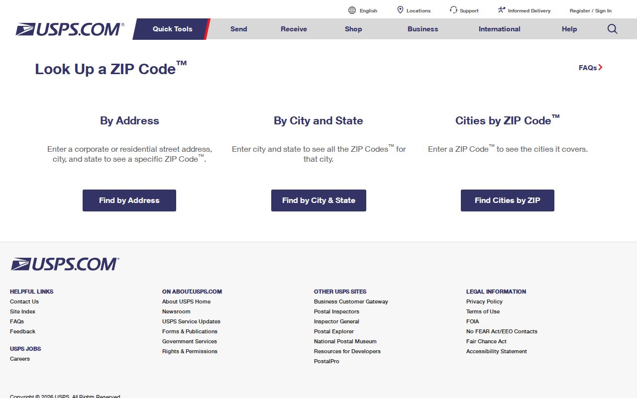
The screen supports a postal verification step, not an assertion about who occupies the address.
Durham ZIP Code Facility Results
Use USPS Locations when the question is about a postal facility rather than the ZIP assigned to one address. The search accepts City/State or ZIP and can add a street address. Its filters include Post Office, National Retailer, Collection Boxes, Self-Service Kiosks, gopost, and Village Post Office. That is a different search from delivery routing, so a nearby facility should not be used to infer a ZIP for a particular property.
Durham Main is documented for 27701, while East Durham, North Durham, West Durham, Shannon Plaza, and RTP are the researched facility examples for 27703, 27704, 27705, 27707, and 27709. The facility finder is the proper route when a postal service location is needed. The full address lookup remains the controlling check for a specific delivery point.
A USPS Locations capture shows the searchable facility categories used for Durham postal research.
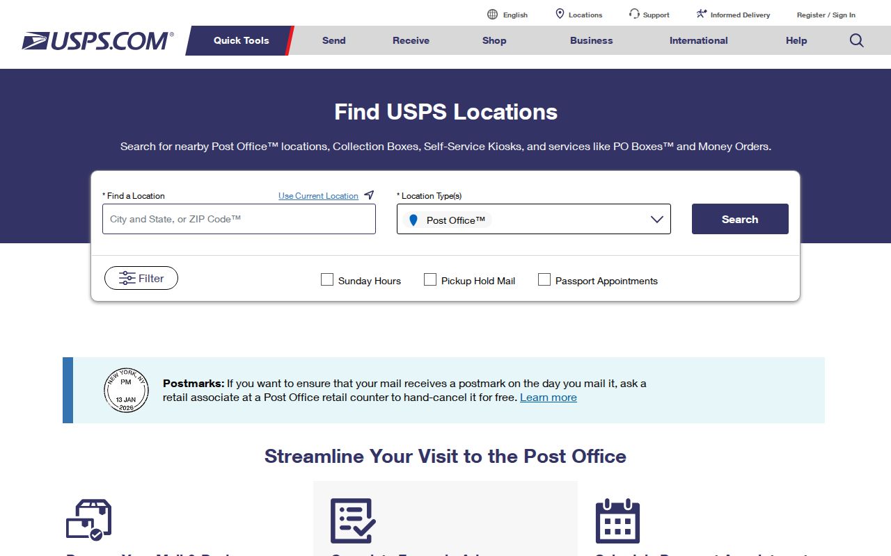
Facility filters help separate a service location from the postal routing assigned to an address.
Durham ZIP Code Polygons in GIS
Durham Maps and the official Administrative MapServer provide the local spatial layer for postal areas. The ZIP layer uses ZIPCODE as its display field and has ZIPCODE, CITY, JURISDICTI, Shape, area, and length in its schema. The service supports queries and several data outputs. It is useful for overlaying ZIP geometry with parcel, municipal, county, and Research Triangle Park layers.
| GIS field | What it supplies |
|---|---|
| ZIPCODE | Five-character ZIP label and the layer’s display field. |
| CITY | City attribute carried with the ZIP polygon. |
| JURISDICTI | Jurisdiction attribute, separate from postal routing. |
| Shape, area, and length | Geometry attributes for the mapped ZIP feature. |
GIS geometry is a map reference, not a delivery ruling. The map service itself carries an accuracy disclaimer and directs users to verify data with the source office. Keep the USPS result, the GIS location, and the county parcel account as three separate pieces of evidence.
The Durham ZIP GIS layer exposes the postal-area fields and query controls.
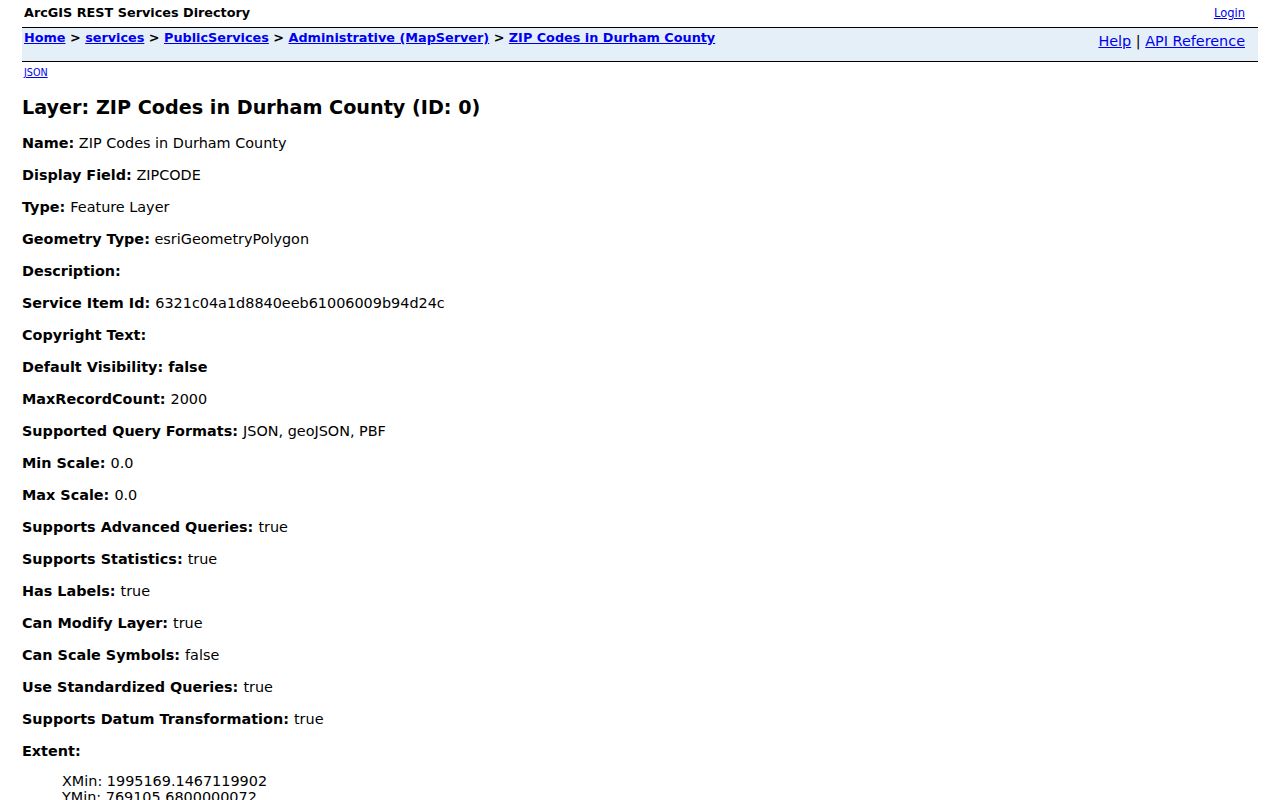
Those fields let a map user label a polygon without confusing it with a resident or ownership record.
Finding Records Within a Durham ZIP
Start with the postal result, then use a record system for the question you actually have. The Durham Tax Administration portal searches by owner, street, REID, or PIN, not by a documented ZIP filter. Its street tab is a practical next step after a ZIP narrows an area. Enter the street name without the street type or directional, then use the number, map location, and parcel fields to narrow the parcel-oriented results.
- Confirm the full address and unit in the USPS lookup.
- Overlay the location with the Durham Maps ZIP, city, county, and parcel layers.
- Search the Tax Administration portal by street, REID, or PIN when a parcel record is needed.
- Open the Register of Deeds reference or other custodian record only for the question it can answer.
Tax records can show parcel and owner-display information, but they do not create a ZIP-wide list of people. Once a ZIP search reaches a named street, use the Durham street directory for the address-based record trail.
Durham ZIP Code Boundaries and City Lines
ZIP codes are delivery geographies, while City of Durham and Durham County are separate boundary layers. An address may have a Durham mailing city, be listed on a Durham County tax parcel, and have a City of Durham planning or service jurisdiction. It may also have only one or two of those connections. Annexations make the distinction more important because the map’s city-limits data must be checked against the underlying ordinances, maps, and source documents.
A City ZIP map includes 27712, 27704, 27705, 27701, 27707, 27703, 27713, 27517, and 27560 in city-related context. The research does not support calling 27517 or 27560 automatic Durham city ZIPs. Treat them as adjacent or overlapping postal areas, then check a parcel and the applicable boundary layer.
- ZIP code
- A postal routing code. It does not establish city limits, ownership, or current occupancy.
- ZIP+4
- An added delivery segment used with a ZIP code for a more precise mailing route.
- PO Box or special ZIP
- A postal grouping that may serve a box, institution, university, or special delivery use rather than a general neighborhood.
- Carrier route
- A mail-delivery grouping. It is not a census tract, neighborhood line, or parcel boundary.
Note: When postal, city, and county labels disagree, retain each label and verify the parcel with the relevant custodian.
Durham ZIP Code Mapping Resources
Durham Mapping Resources routes users to public mapping information, while Durham Maps can add historic properties, landmarks, zoning, floodplain, streams, aerials, city and county boundaries, and annexation context. These overlays can explain why a mailing address feels inconsistent with an older directory or current parcel. They do not replace a recorded legal description or a USPS delivery result.
The most reliable Durham crosswalk has three labels: USPS postal city and ZIP, Durham GIS municipal or jurisdiction layer, and the Tax Administration parcel account with its REID. Each label answers a different question. None can independently identify the people at an address.
The Durham mapping resources capture points to the city’s official routes for boundary and layer research.
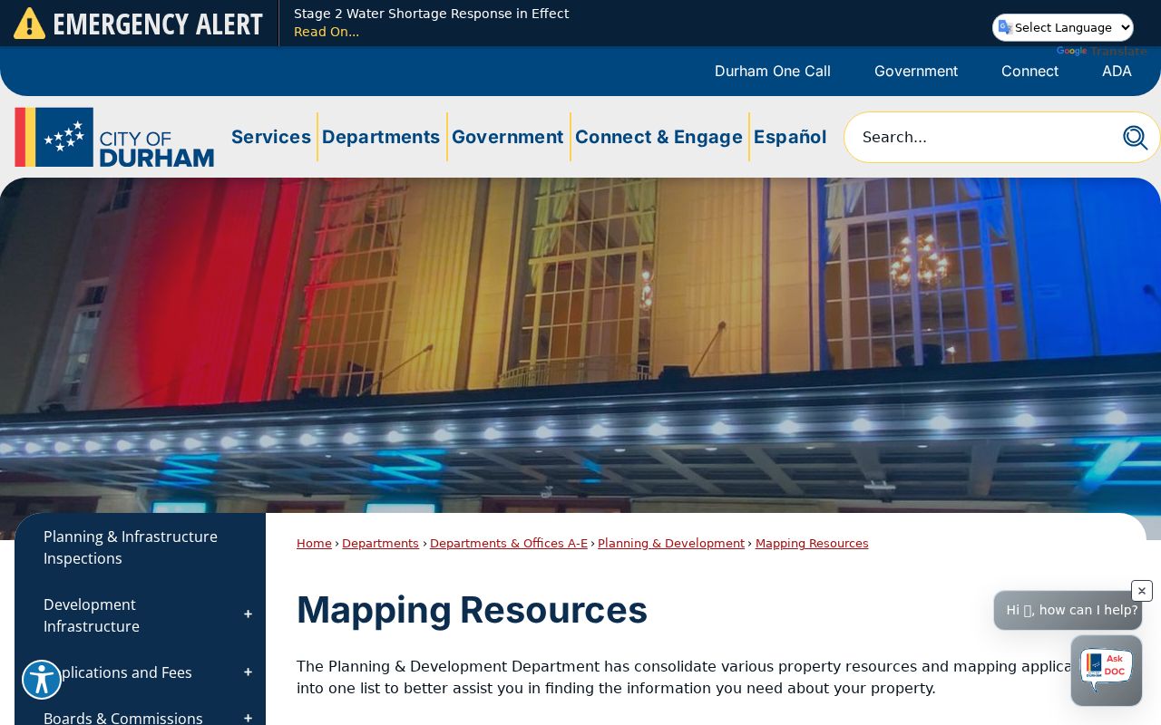
The local map route is useful after USPS identifies delivery geography and before a record request is directed to a custodian.
Durham ZIP Code Planning Geography
Postal areas and neighborhood names do not use one universal outline. The City’s Small Area Plans program explains that neighborhood boundaries can use census block groups, ZIPs, historic districts, homeowners associations, or roads, and may not be clearly defined. Use the plan’s stated geography for a planning question instead of drawing a neighborhood from a ZIP alone.
The Walltown plan illustrates the value of that distinction. It was adopted August 18, 2025 and preserves local planning and historical context, including its block and alley pattern. That context can help compare a parcel, a historic directory street section, and a map, but it does not establish who lives there now.
The Small Area Plans image documents the city route for neighborhood and planning context.
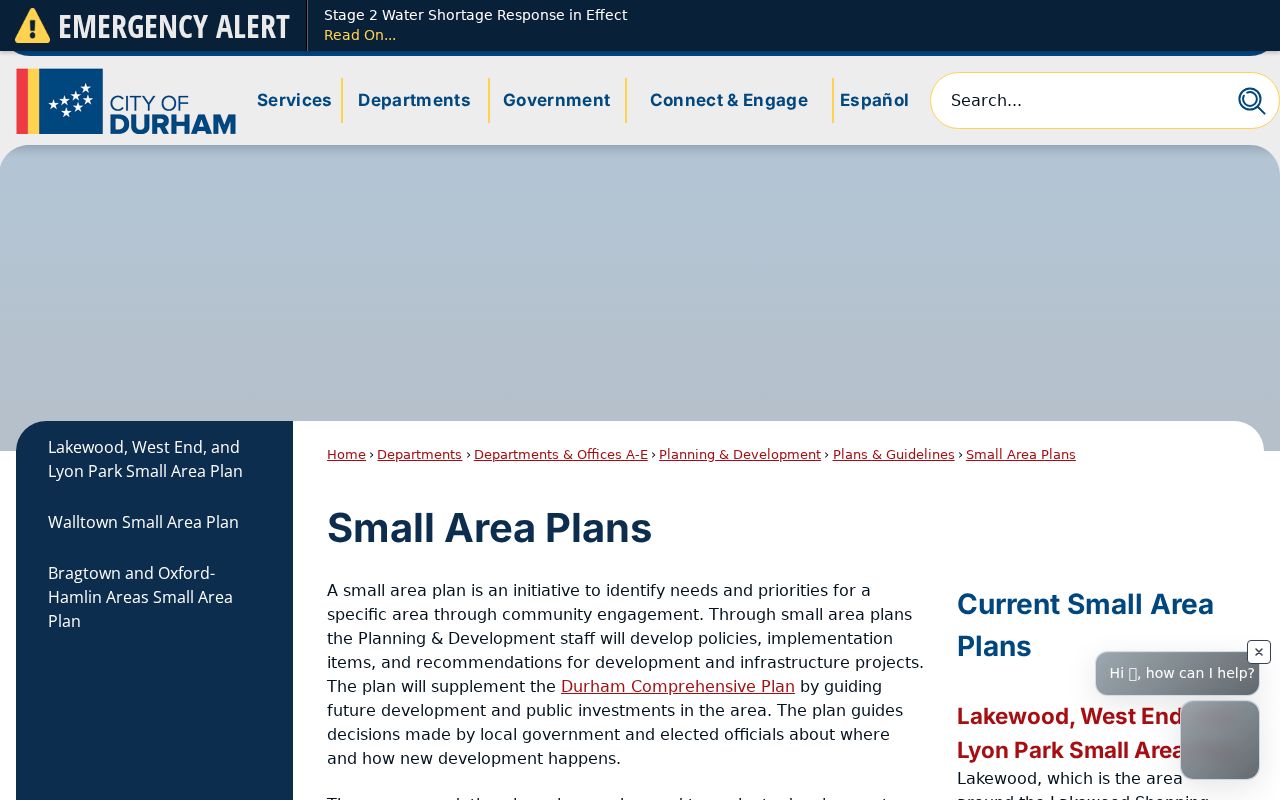
Plan boundaries are civic research leads, not a substitute for the postal, parcel, or resident record involved.
Durham ZIP Code Directory at City Scale
A citywide statistic is also different from a ZIP polygon. The Durham QuickFacts page is a city-level reference, while postal areas cross or stop at other geography lines. Keep the scale of a source visible when comparing a city figure, a ZIP layer, and a county parcel. That simple check prevents a postal service area from being read as a municipal population area.
Use the ZIP code directory to keep the postal question narrow. If the goal changes to an official record, request the existing record from its owner, such as USPS for delivery, Durham Maps for spatial context, Tax Administration for parcel data, or the Register of Deeds for a recorded instrument.
A Durham QuickFacts capture provides the city-scale comparison point.
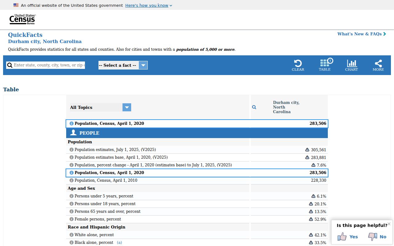
The city-scale reference reinforces that a ZIP area and a municipal geography should not be treated as interchangeable.